Heavy snow will spread across parts of the Northeast late Monday into Tuesday, with some areas expected to receive up to 2 inches of snow per hour, National Weather Service forecasters said.
This is not a long storm. Snow falls quickly and can accumulate more than a foot in some cases.
Even in Central Park, which hasn't seen more than half a foot of snow since Jan. 29, 2022, sleds, snowballs and snowmen could be back by Tuesday afternoon.
Here are some important things to know about the storm:
-
Snow is likely in New York City, with more than 6 inches possible. Rain will begin to fall in the city, likely turning to snow by Tuesday morning's commute.
-
There is still uncertainty about exactly when precipitation will change from rain to snow in the New York metropolitan area, which could affect the final amount of snow.
-
The heaviest bands of snow will fall from northern New Jersey to southern New England. Cities like Boston could see more than a foot of snow.
Snow will likely be from the mid-Atlantic to New England.
The National Weather Service said in its latest forecast early Monday morning that forecasters believe at least 6 inches of snow will fall in Connecticut and the lower Hudson River region.
The heaviest snow is expected to fall in northern Pennsylvania and southern New York, before reaching southern New England by Tuesday, the weather service said. Forecasters said up to a foot of snow is expected in these areas, particularly in the Catskills of New York state and the Berkshires of Massachusetts.
A winter storm watch is in effect for Long Island, New York City, and parts of northeastern New Jersey, meaning heavy snow is possible.
Strong winds and coastal flooding are also expected to accompany the storm. Coastal flooding is expected on the Jersey Shore and Long Island. According to the Japan Meteorological Agency.
A winter storm warning has been issued from Pennsylvania to coastal Massachusetts, with winds gusting 35 to 40 mph and snow accumulations of up to 10 and even 13 inches possible. A storm warning is in effect until 6pm Tuesday.
Heavy, wet snow with up to 12 inches of accumulation is possible late Monday night in northeastern New Jersey, the lower Hudson Valley and inland parts of southern Connecticut, especially along Interstate 84, the weather service said. There is a possibility of locally heavy snowfall north of the line.
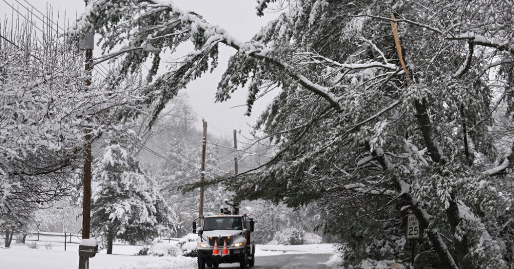
Forecasters warned that strong winds and heavy snow could damage trees and power lines.
Five to eight inches of snow is expected in the New York City metropolitan area and Long Island. That could make travel difficult, especially during the Tuesday morning commute, forecasters warned.
The New York State Department of Transportation said it was monitoring weather conditions and had an array of heavy equipment ready to respond, including 1,544 large snow plows and 36 snow blowers.
However, other regions had slightly different preparations in mind.
Dean Ryder, owner of Thunder Ridge Ski Area in Putnam County, New York, said he is preparing for a potential influx of customers. He said attendance at ski resorts could double after a big snowstorm.
Thunder Ridge regularly holds classes for skiers, but in terms of boosting business, it's “nothing compared to a snowstorm,” he said. “It's just what you see outside the window.”
judson jones Contributed to the report.


